O'CERDANYA AUGUST 2017 | 10/08/2017 - 15/08/2017 | HIGH ORIENTEERING ON THE CATALAN PYRENEES!!


O'CERDANYA AUGUST 2017 | 10/08/2017 - 15/08/2017 | HIGH ORIENTEERING ON THE CATALAN PYRENEES!!
.jpg)


Place:
Date:
Start time:
Finish time:
Type:
Acronym:
Pla de les Forques
2017-08-13
09:00
15:30
Race
DAY3 MD2
Forest land terrain, mainly, with some steep slopes and vegetation detail.
Access to the event centre for stages 3 and 4 (Pla de les Forques) will not be allowed until the day of the event.We haven't been able to find enough space to park all vehicles close to the arena for each stage. Please car share (with at least 4 people per vehicle) on your way to the event areas. By respecting this requirement you'll keep the time required to get to the arena to a minimum.There is a regrouping point for cars with fewer than 4 occupants: the Alabaus parking area. From here on the car sharing system will get you to the event centre.
For stages 3 and 4 there will be a one-way traffic system in place: this must be complied with.
Competitors travelling by Camper Van can park at the event area within a limited zone reserved exclusively for this purpose. Access will be allowed from 17h00 on 12th August. If you arrive on 13th or 14th August, you must park at the Alabaus parking area and car share to the event centre.
Reminder: this is a nature reserve, a protected area. Parking outside the designated area is prohibited and suject to parking fines.
WARNING: Camper vans over 8 metres in length cannot enter the competition area.
Given the large number of cars on the day of the event and the difficulties involved in parking camper vans, we can't guarantee free movement of cars during the stage 3 and 4 events. We strongly recommend waiting for the end of the event before trying to leave (17h00 unless otherwise indicated).
It is strictly forbidden to use a cooking stove with a naked flame outdoors.
Occupants of camper vans are asked to show fair play and not visit the zone around their overnight parking: this is part of the competition area!
• CAR TRAFFIC: one way system from the Alabaus car park to the event centre:
• Accés to Pla de les Forques from collada de Tosses:
Acces:
Map: Pla de les Forques (Rui Antunes & José Batista 2016)
About the terrain: mostly wooded, fairly good runnability. The rest is open or semi-open pasture. Areas of dense vegetation reduce running speed by about 50%.
The map is fairly detailed, mostly vegetation features and hills, plus some boulders and crags.
The area is moderately steep.
Take care in the presence of cattle and horses.
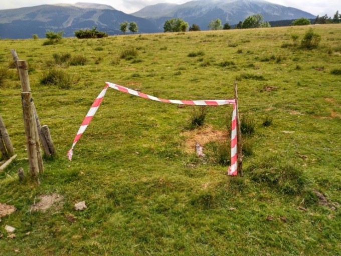
Planner's note:
A cut dry tree


Images


Entries are closed
Entries for O'Cerdanya are now closed; we thank you for having entered. We request you to check on the Orienteeringonline website the details concerning...
Read...O-Cerdanya 2017 technique t-Shirt
We present the model of the technical t-shirt (offered to any participant registered on the 5 days) To purchase additional units please ask in...
Read...Calendari curses
31/12/2026


.jpg)

.JPG)
.png)


